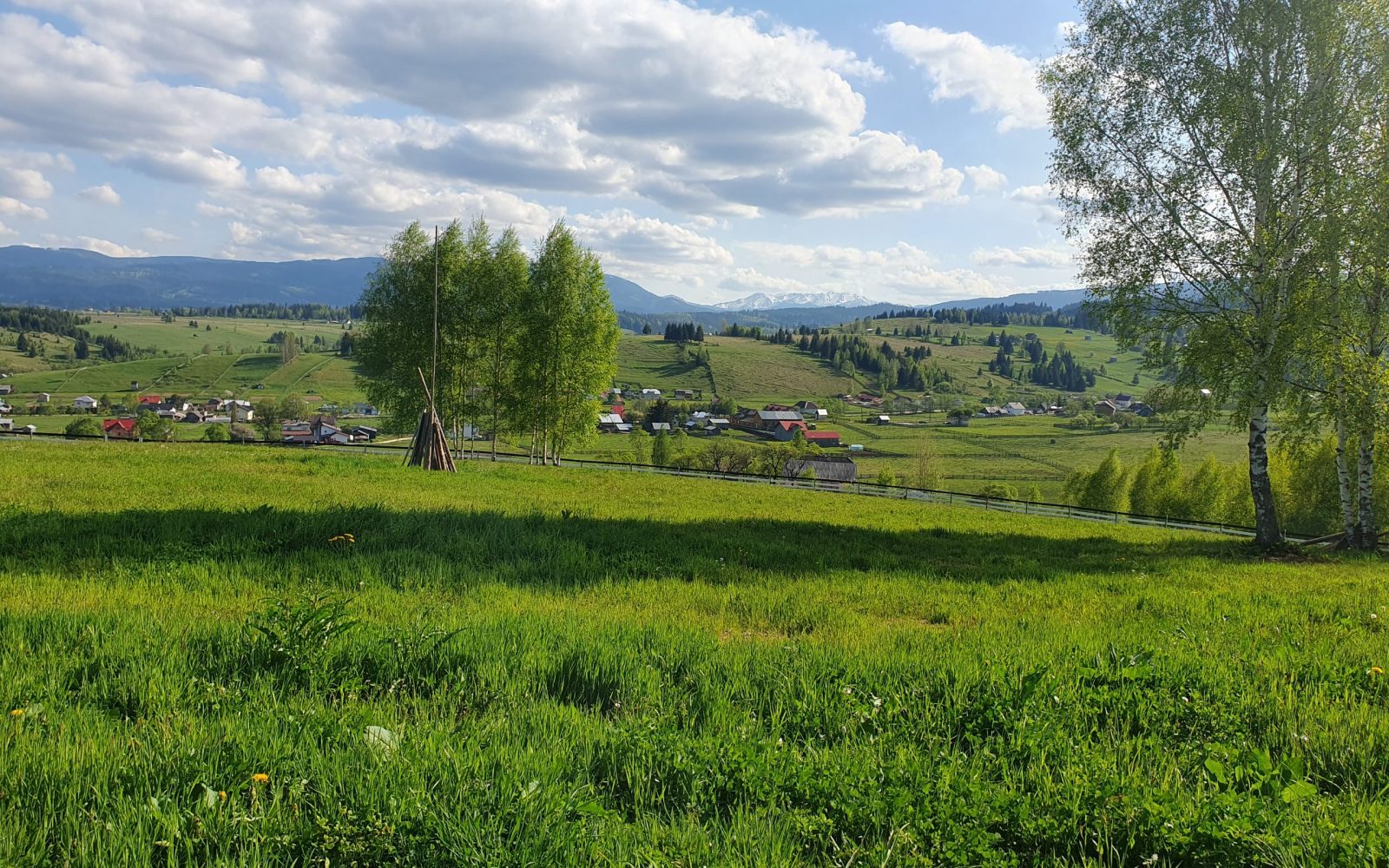
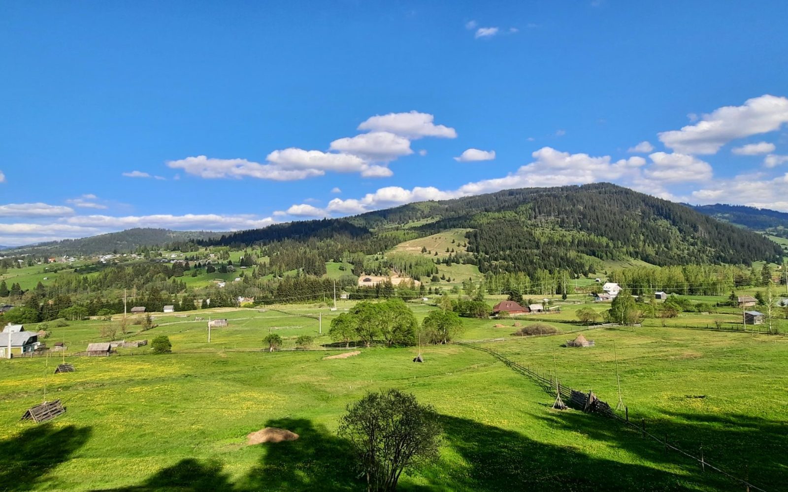
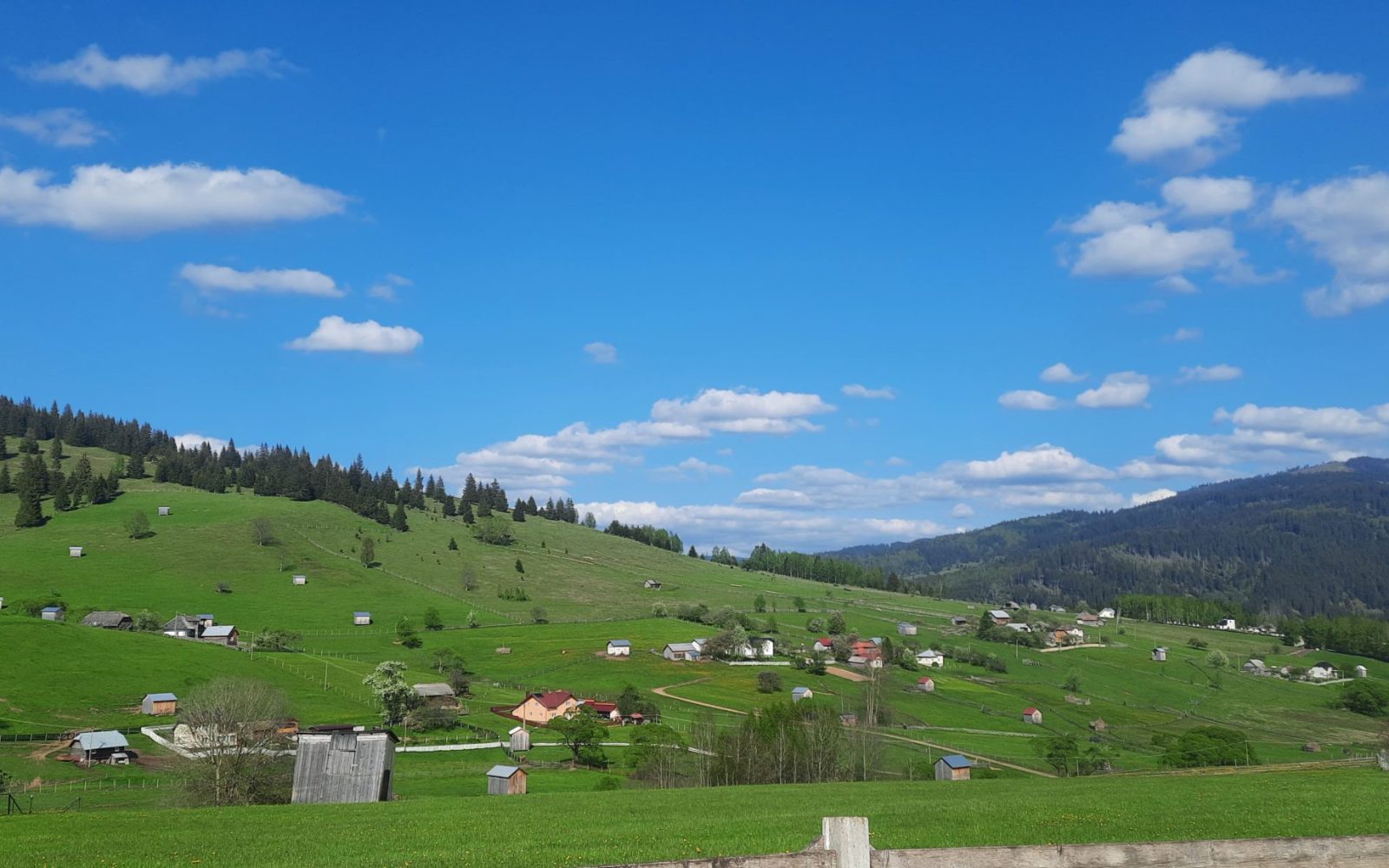
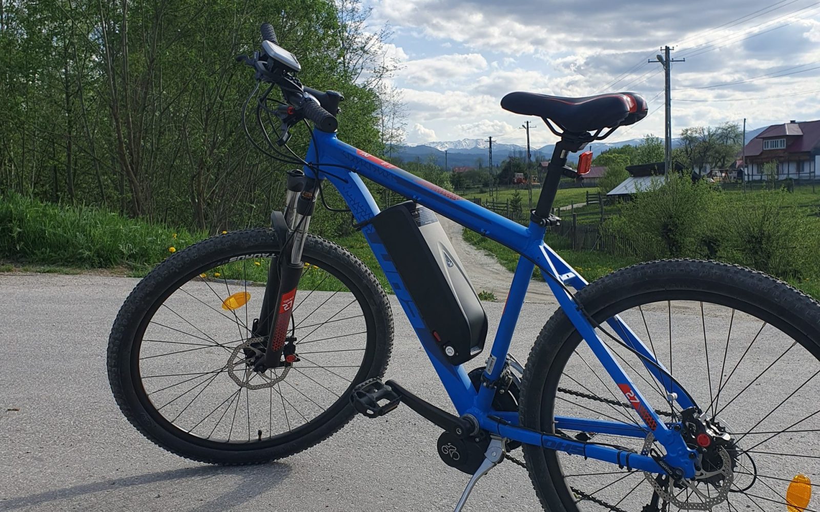
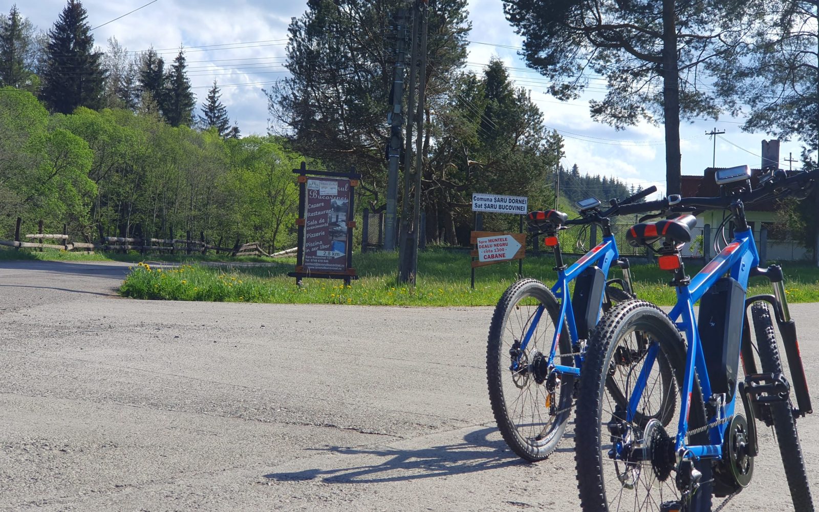
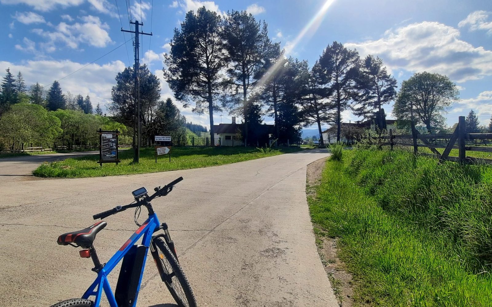
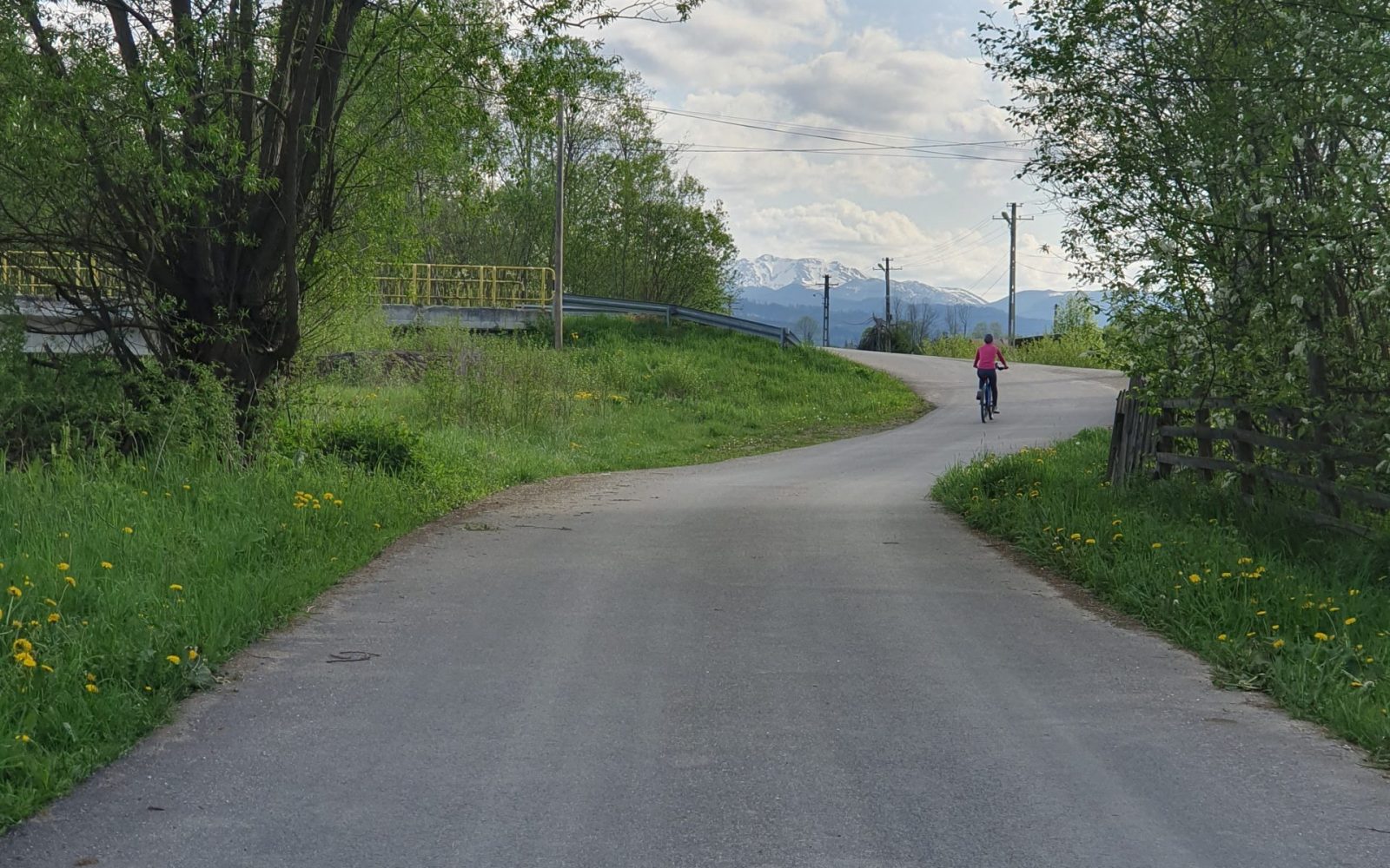
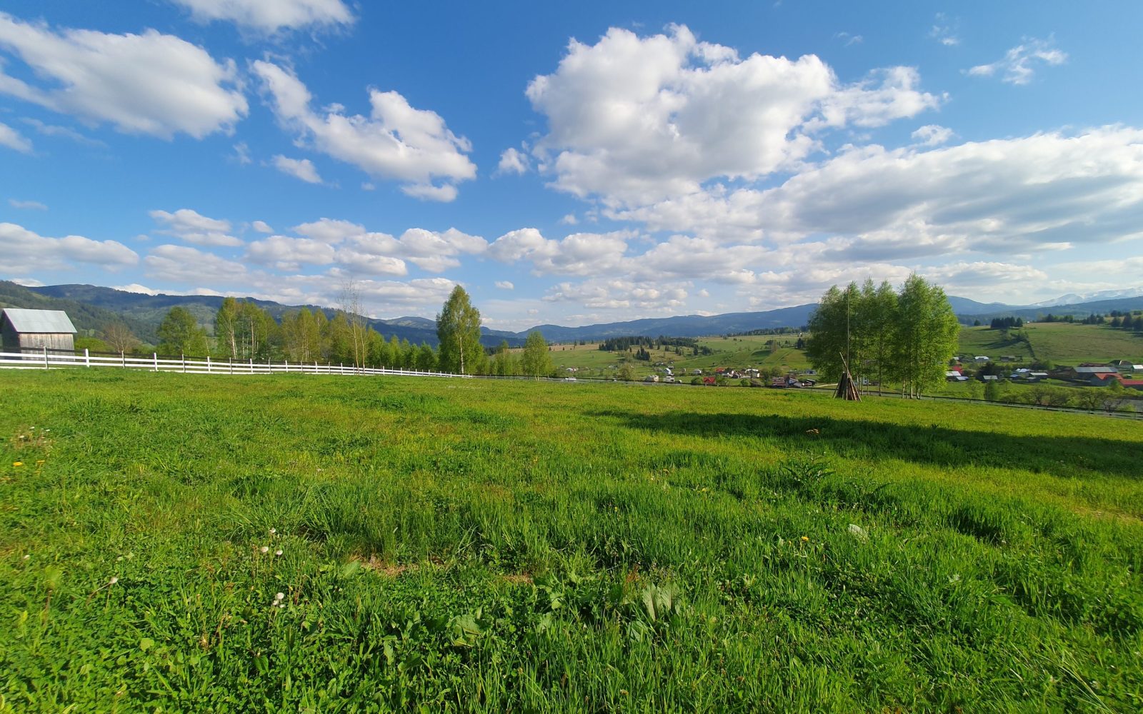
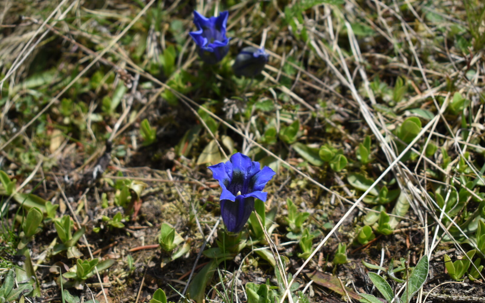
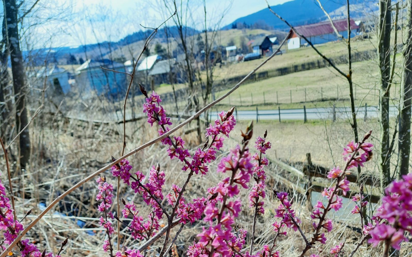
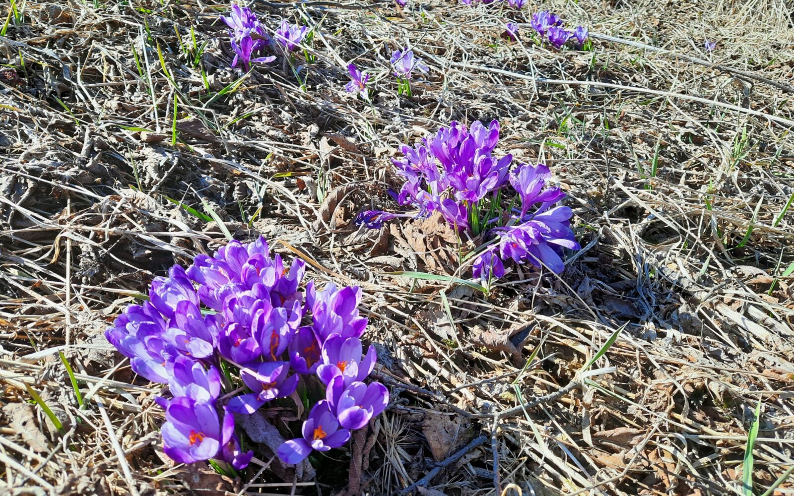
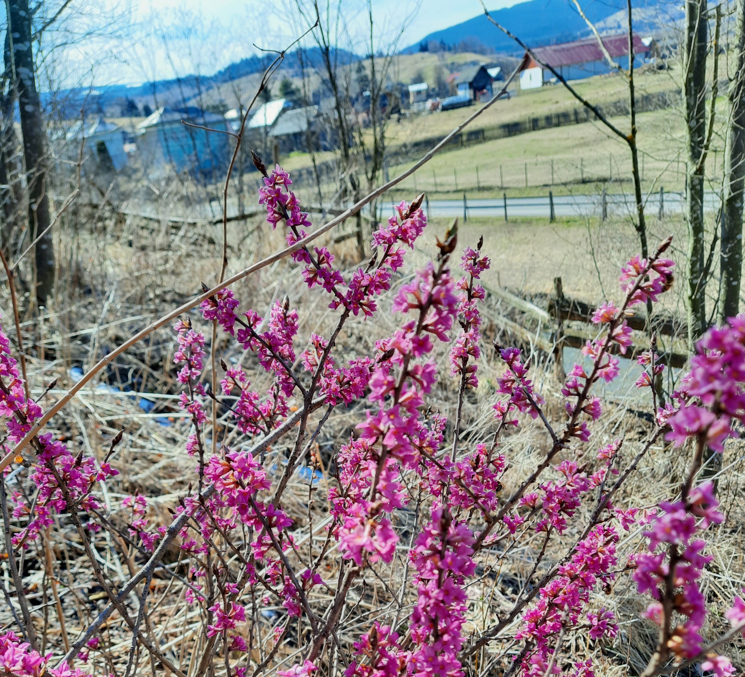
A leisurely route, mostly on asphalt, through the northern parts of Șaru Dornei and Panaci communes. It starts on the road between Șaru Dornei and Neagra Șarului villages and descends towards the centre of Șaru Dornei for about 3 kilometres. This stretch brings back many memories for us: it was the road we took to school every day and knew down to the smallest detail. Along it you can find several protected plants, including Gentiana acaulis (the gentian you can see on the 1 leu banknote), Crocus heuffelianus (mountain crocus), Primula elatior (oxlip) and Daphne mezereum (mezereon).
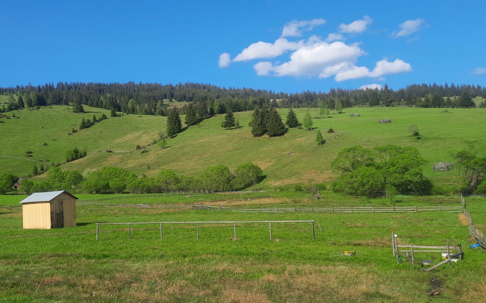
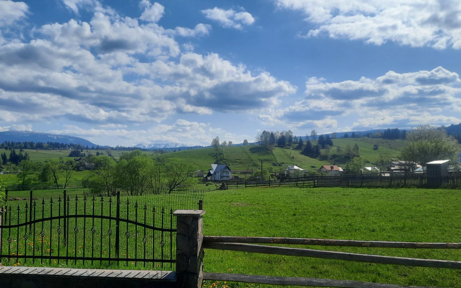
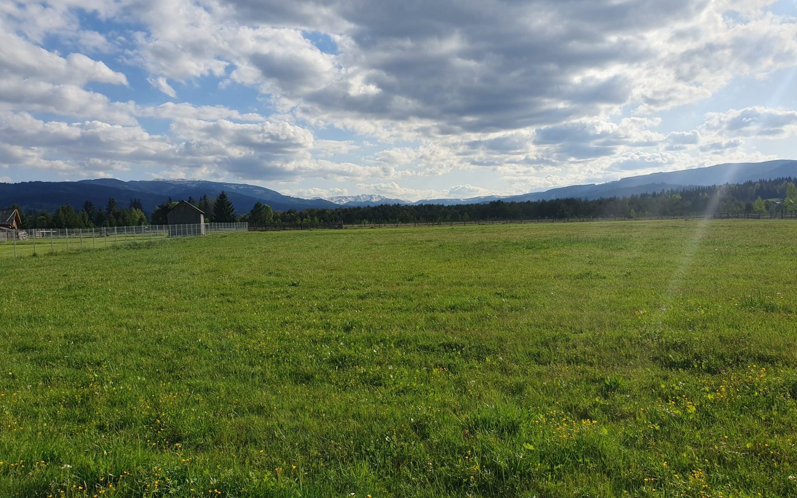
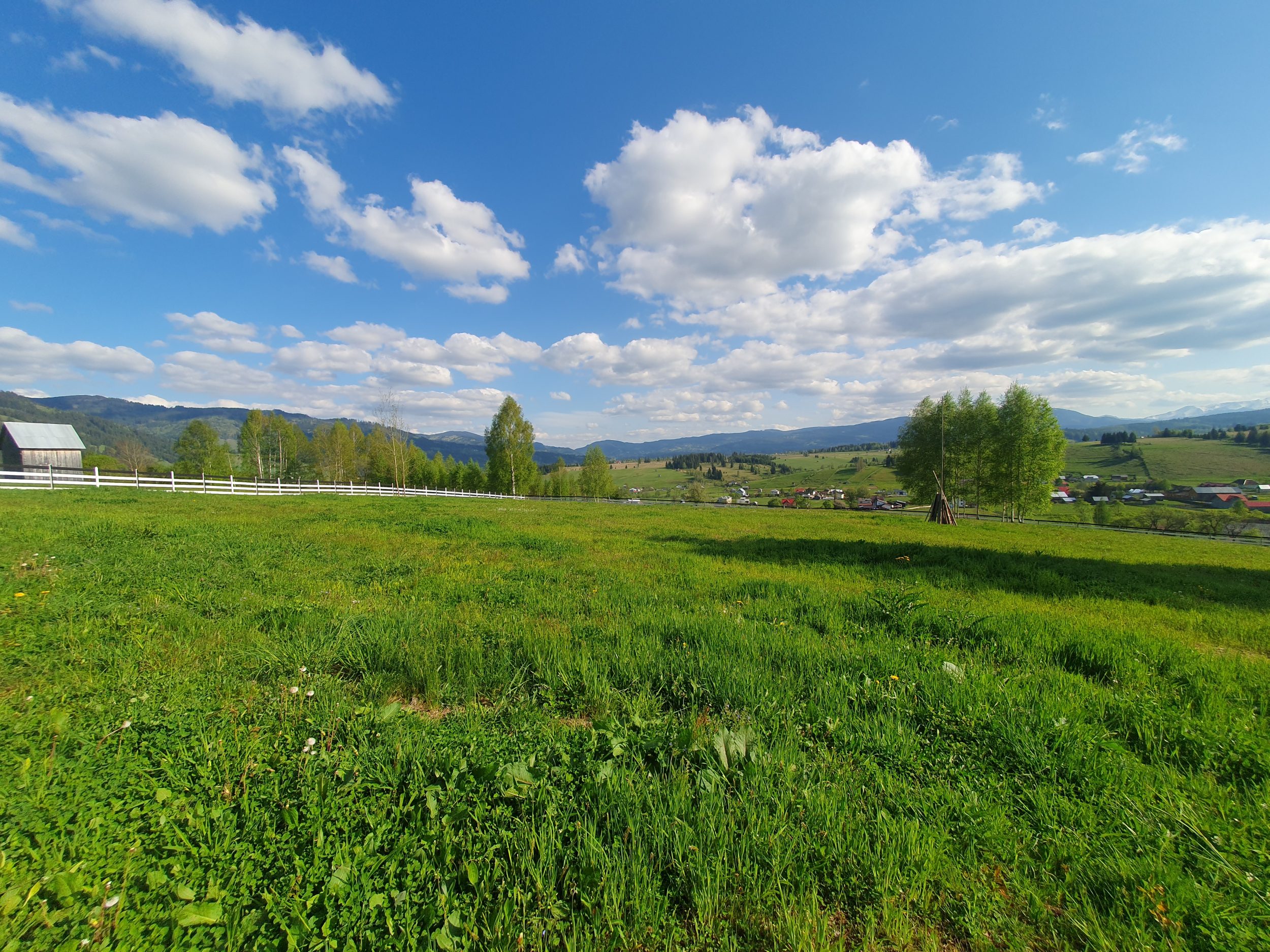
Once in Șaru Dornei, by the secondary school, the route turns towards Șaru Bucovinei village and continues on asphalt for about 2 kilometres to the church there. It then climbs a lane through the locals’ hay fields and pastures at the foot of Dealul Negru, an area they call Runc. From here you can see the Orthodox cathedral of Șaru Dornei to the east.
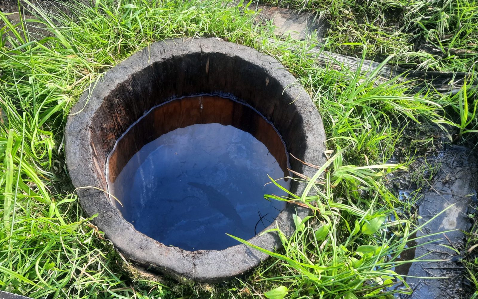
Further on, the road reaches the hamlet of Moroșeni, part of Plaiu Șarului village, where the Șarului depression narrows between the mountains to the east (“Coasta Șarului”) and west (“Dealu Negru”). The hamlet is called Moroșeni because many people named “Moroșanu” once lived here. Here you can see the typical life of mountain farmers, with all its customs.
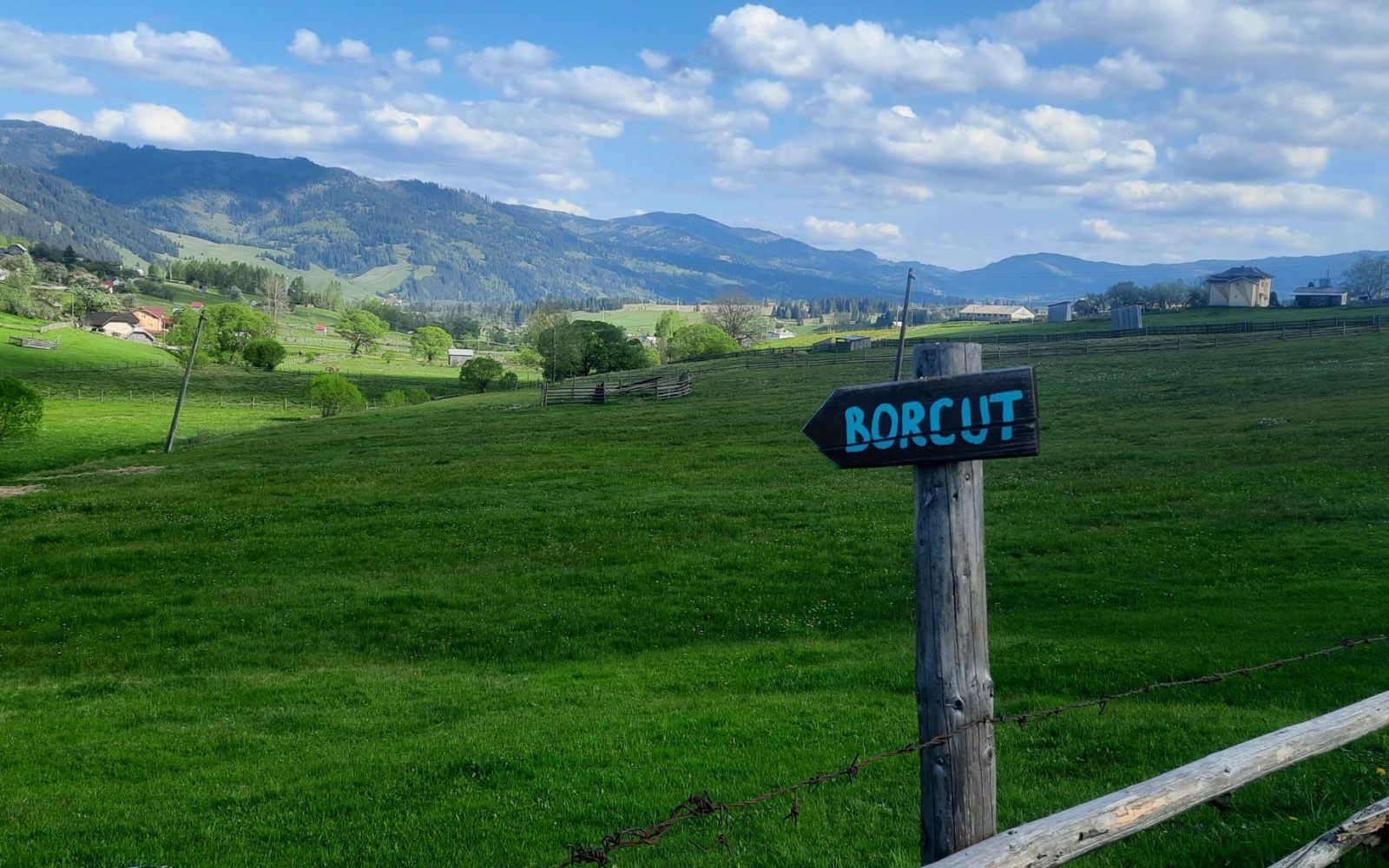
The route leaves this tiny hamlet over a wooden bridge across the Neagra river and returns on asphalt to the centre of Șaru Dornei, then carries on towards Panaci. This road actually marks the eastern edge of the depression, running right along the foot of “Dealul Rusului” hill and following the Neagra river. After about 3 kilometres the route leaves the road to the centre of Panaci, follows the river for about 1 km more, then turns west onto a gravel lane. This lane is called “Ulița Nemțenilor”, after the many “Neamțu” families who lived here, and it is the shortest road between the two communes. Along it you will see a remarkable nature reserve on your left: “Tinovul Mic Șaru Dornei”, a peat bog. Since it’s near the end of the route, you can stop here and walk its paths at leisure.
- Difficulty: easy
- Maximum altitude: 918 m
- Length: 15.9 km
- Total ascent: 204 m
- Total descent: 200 m